
Gracias por apoyar a este sitio ❤️
Haz una donación
Haz una donación
Mapa topográfico Khan Shaykhun
Haga clic en el mapa para ver la altitud.
Gracias por apoyar a este sitio ❤️
Haz una donación
Haz una donación
Khan Shaykhun
Khan Shaykhun is located at an altitude of 350 meters on the main highway between Aleppo and Damascus. The local economy is primarily agricultural, focusing on the growing of cotton and cereals. The town was formerly known for producing embroidery. Nearby localities include Hbit to the west, Kafr Zita to southwest, Murak to the south and Al-Tamanah to the east.
Gracias por apoyar a este sitio ❤️
Haz una donación
Haz una donación
Acerca de este mapa
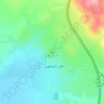
Nombre: Mapa topográfico Khan Shaykhun, altitud, relieve.
Altitud media: 374 m
Altitud mínima: 332 m
Altitud máxima: 480 m
Gracias por apoyar a este sitio ❤️
Haz una donación
Haz una donación