
Gracias por apoyar a este sitio ❤️
Haz una donación
Haz una donación
Mapa topográfico Strmec na Predelu
Haga clic en el mapa para ver la altitud.
Gracias por apoyar a este sitio ❤️
Haz una donación
Haz una donación
Strmec na Predelu
Strmec na Predelu (pronounced [ˈstəɾməts na pɾɛˈdeːlu]; Italian: Bretto di Sopra) is a settlement in the Municipality of Bovec in the Littoral region of Slovenia. It lies on the road to the Predel Pass. Another road, distinguished by being the road built at the highest elevation in Slovenia, splits off the road to Predel and leads to the lodge on Mangart Saddle.
Gracias por apoyar a este sitio ❤️
Haz una donación
Haz una donación
Acerca de este mapa
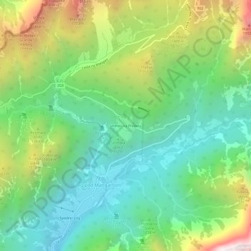
Nombre: Mapa topográfico Strmec na Predelu, altitud, relieve.
Lugar: Strmec na Predelu, Log pod Mangartom, Bovec, 5231, Slovenia (46.39613 13.59000 46.43613 13.63000)
Altitud media: 1,141 m
Altitud mínima: 597 m
Altitud máxima: 2,222 m
Gracias por apoyar a este sitio ❤️
Haz una donación
Haz una donación