
Haz una donación
Mapa topográfico Mount Raleigh
Haga clic en el mapa para ver la altitud.
Haz una donación
Mount Raleigh
Mount Raleigh, elevation 3,132 m (10,276 ft), is one of the principal summits of the Pacific Ranges of the Coast Mountains of southern British Columbia in Canada. It is located just southeast of the confluence of the Southgate and Bishop Rivers, northeast of the head of Bute Inlet, and is the highest summit south of the Bishop River's divide with the Lillooet River at Ring Pass, which is at the southeastern edge of the Lillooet Icefield and just north of the Pemberton Icecap. It is also the highest peak south of the pass between the upper basins of Chilko Lake and the Taseko Lakes, just north of which is Monmouth Mountain at 3,182 m (10,440 ft) (see Tsʼilʔos Provincial Park).
Haz una donación
Acerca de este mapa
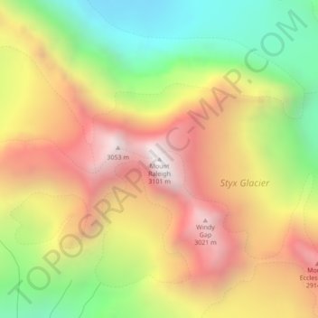
Nombre: Mapa topográfico Mount Raleigh, altitud, relieve.
Altitud media: 2,414 m
Altitud mínima: 1,694 m
Altitud máxima: 3,109 m
Haz una donación