
Gracias por apoyar a este sitio ❤️
Haz una donación
Haz una donación
Mapa topográfico Kras
Haga clic en el mapa para ver la altitud.
Gracias por apoyar a este sitio ❤️
Haz una donación
Haz una donación
Kras
It lies between the Vipava Valley, the low hills surrounding the valley, the westernmost part of the Brkini Hills, northern Istria, and the Gulf of Trieste. The western edge of the plateau also marks the traditional ethnic border between Italians and Slovenes. The region gave its name to karst topography. For this reason, it is also referred to as the Classical Karst.
Gracias por apoyar a este sitio ❤️
Haz una donación
Haz una donación
Acerca de este mapa
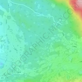
Nombre: Mapa topográfico Kras, altitud, relieve.
Lugar: Kras, Sežana, Upravna enota Sežana, 6219, Slovenia (45.66779 13.90134 45.66789 13.90144)
Altitud media: 423 m
Altitud mínima: 377 m
Altitud máxima: 577 m
Gracias por apoyar a este sitio ❤️
Haz una donación
Haz una donación